Crime near Hanwell: 665 street-level offences in August 2025 (police.uk)
Street-level data from police.uk for a point at Hanwell (lat 51.5118, lng −0.3386) recorded 665 offences in August 2025. Anti-social behaviour and violence were the largest categories.
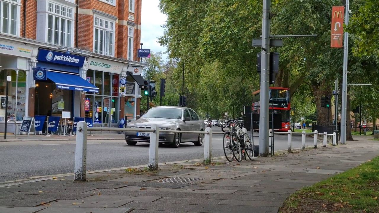
Using the official police.uk street-level crime API for coordinates near Hanwell station (51.5118, −0.3386) and month 2025-08, we counted 665 recorded offences.
The largest categories in that extract were: anti-social behaviour 243; violent crime 157; vehicle crime 50; public order 48; shoplifting 39; other theft 37; criminal damage and arson 28; burglary 20.
The police.uk locate-neighbourhood tool for the same point returns Metropolitan Police neighbourhood E05013529. These are open data counts for a map radius around a point — not a Hanwell parish boundary and not a league table of “safety”.
In an emergency call 999. For non-emergency crime reporting use 101 or the channels on our Emergency page. Always verify the latest month on police.uk.
Sources
- police.uk — street-level crime API
- police.uk — public crime map
- police.uk — locate neighbourhood (example point Hanwell)
police.uk street-level API for date=2025-08 around Hanwell coordinates; neighbourhood locate returns E05013529 (Metropolitan Police). Checked 28 October 2026.